Challenging Flood Maps
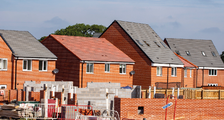
The flood zone in which land sits can be a major hurdle for many new developments.
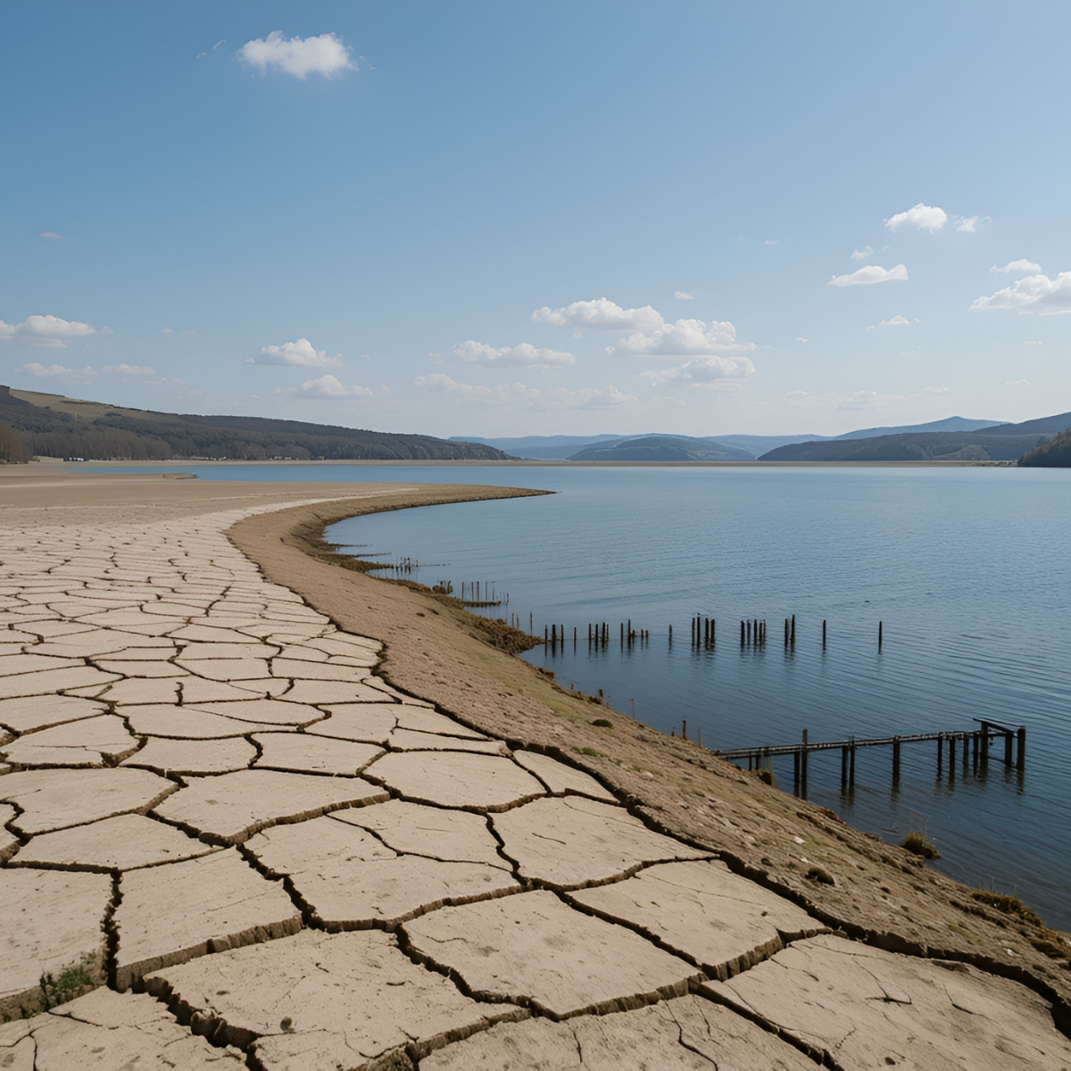
Flood maps published by the Environment Agency, SEPA and NRW, place land into different categories depending on how likely it is to flood. These categories are based on national datasets and, unless local evaluation and mapping has been undertaken, they are unlikely to have been reviewed in detail. There are many cases where flood maps overstate the risk of flooding and as a result, limitations are unnecessarily placed on development. There are also cases where the flood maps underrepresent the risk, which can result in unexpected issues and even fatal flaws being raised during the planning process, often by third parties or objectors.
The flood maps do not have to be taken at face value and developers can challenge them.
It is important to understand the real risk of flooding and the potential limitations it may impose on your development early in the evaluation and planning process. By confirming the accuracy of the published maps, the true viability of your development can be assessed from a flood risk perspective.
Seeking the expert advice of a specialist at project inception will determine one of three outcomes:
(1) the flood maps are correct and provide an accurate assessment of flood risk;
(2) they are incorrect and in fact the site is at a lower risk than is mapped; or
(3) that the flood maps are incorrect and in fact the site is at a higher risk than is mapped.
While the last outcome is not desirable, identifying this can prevent unexpected and costly delays during a planning application process, or investment in land that is unsuitable to be developed for the intended use.
If flood maps show land to be at a higher risk of flooding than it should be, then this offers an opportunity for developers to challenge the maps and release the development potential.
Our specialists are seeing more and more instances where flood maps are incorrect and indicate that the flood risk is greater than is the case. Challenging the status quo can be done by either lodging a query with the regulator to re-classify the published map or submit sufficient evidence with your planning application to demonstrate the correct flood risk. Depending on the nature of the development, our experts will advise you on the best course of action to achieve success.
In our experience, challenging published maps is an option that is often overlooked, or considered too complex to undertake. It is true that in some cases the process can be complex, and may involve detailed hydrological reviews, acquisition of high-resolution survey data and even numerical modelling of channels and flood plains. That is why it’s important to identify the level of technical work required to address the issue and ensure this is proportionate to the scale of the proposed development.
Our specialists are experienced at challenging the regulators. We have successfully re-classified published flood maps or shown that sites are not at the risk indicated by the maps. We have won our clients’ battles with Lead Local Flood Authorities and obtained successful planning outcomes.
Could we help you? Contact our technical lead
LeeClarke@envireauwater.co.uk or call 01332 871 882 to discuss the solution to your flood risk problem.