National Assessment of Flood and Coastal Erosion Risk in England 2025
Understanding current and future flood and coastal erosion risks is essential to help policymakers, developers, practitioners, and communities adapt to a changing climate.
As of 28th January 2025, new data from the National Flood Risk Assessment (NaFRA) and National Coastal Erosion Risk Map (NCERM) has been released.
NaFRA and NCERM use the best available data, information and modelling from the Environment Agency and local authorities to provide the most detailed and accurate understanding of current and future risks. The new mapping will help support decision making for new and existing developments, enabling a greater understanding of the potential flood and coastal erosion risks now and in the future.
But why is this important?
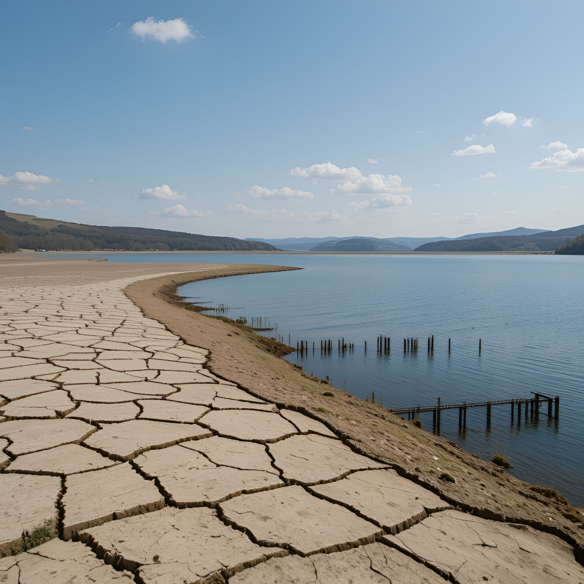
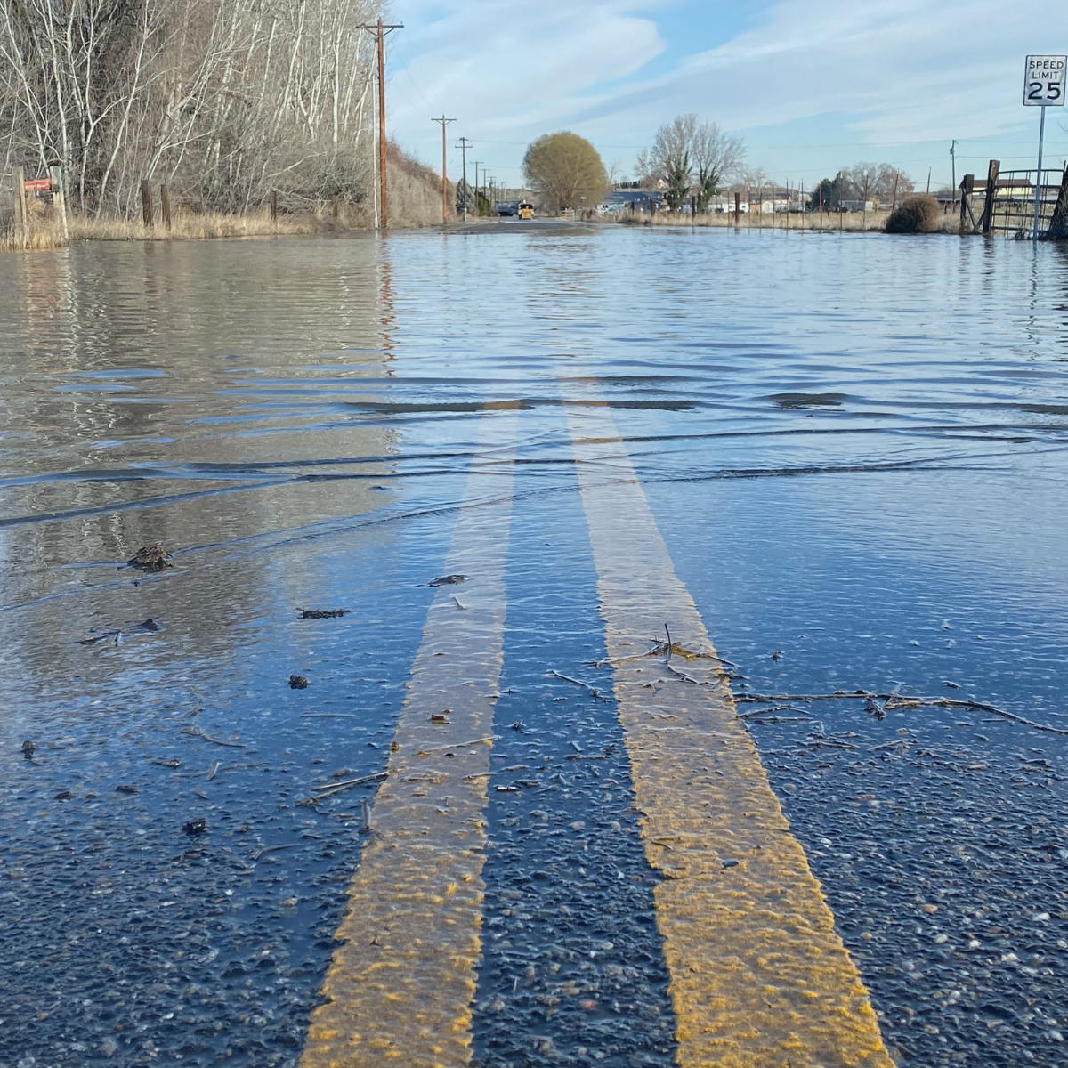
Approximately 6.3 million properties in England are currently at risk of flooding from rivers, the sea, and surface water, with the East Midlands, Yorkshire and the Humber, and the South East having the highest concentration of properties at high or medium flood risk. As climate change accelerates, this figure could rise sharply to 8 million by mid-century, leaving 1 in 4 properties vulnerable to flooding.
The new NaFRA highlights that 2.4 million properties are currently vulnerable to flooding from rivers and the sea, with projections suggesting this could rise to 3.1 million between 2036 and 2069. Surface water flooding, which already threatens 4.6 million properties, is also anticipated to increase by 43% with predictions suggesting 6.1 million people could be impacted between 2040–2060.
A significant proportion of roads, railways, and agricultural land are at risk of flooding. Currently, around 38% of roads and 37% of railways are at risk of flooding; a risk that is expected to increase in the future.
But it's not just flooding that continues to pose a significant risk, the NCERM indicates that 3,500 properties are at risk of coastal erosion by 2055, increasing to 10,100 properties by 2105.
Without intervention, climate change is expected to increase the frequency and severity of these numbers significantly. For the first time both NaFRA and NCERM now account for the latest climate projections. This is critical given that we will continue to see the impacts of a changing climate leading to more frequent and severe flooding.
Does this affect you or your client?
The latest updates in data and information mean that the flood risk for some homes or businesses may have changed. Check your long term flood risk for an area in England.
Looking ahead
On 25th March 2025, the Flood Map for Planning will also be updated. This will show the surface water risk and how climate change may affect the extent of future flood risk from rivers and the sea. The improved mapping and data will assist planners and developers to make decisions about the location and design of new development and inform flood risk assessments.
The role of Envireau Water
Whether a commercial or residential development, Envireau Water specialise in flood risk management and sustainable drainage solutions across the UK. By leveraging our technical expertise and deep knowledge of the UK regulatory system, we are known for achieving a positive outcome for even the most complex of challenges.
Reach out and speak to our team today to discuss your project at
info@envireauwater.co.uk or speak to our friendly team on
01332 871 882.