Did you miss the Quarry Water Management and Licensing Webinar?
They want data, evidence and scientific justification, not balance. A fundamental part of the application is a Hydrogeological Impact Assessment.
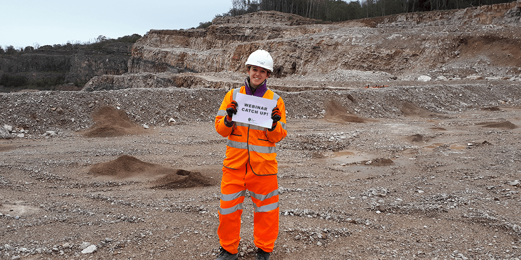
Last week, Deborah Thomas, one of our principal hydrogeologists, alongside James Dodds, our founder and a nationally recognised expert in abstraction licensing, took the opportunity to inform estates and planning specialists on dewatering licensing in England and Wales. If you missed it or fancy reading through the key points, we have a summary for you!
Pre 2017…
At the beginning of 2018, quarries operating under the licensing exemption for dewatering were required to obtain an abstraction licence. To allow this transition to take place, a two and half year transitional period, 2018/20 was put in place. During this time, operators were required to put together evidence from 2011 to 2017 to submit a transitional arrangements abstraction licence application. The Environment Agency and Natural Resources Wales are now determining these applications.
Where are we now?
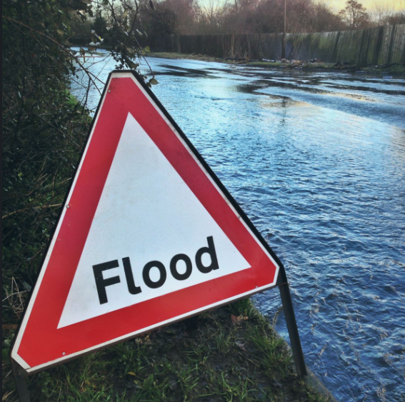
We are now in the ‘New Era’, which means you are required to hold an abstraction licence for any dewatering or changes to dewatering systems that began from the start of 2018. So, what does this mean for you? You need to apply to the Environment Agency or Natural Resources Wales for either a Full or Transfer licence to cover your activities. Remember, in preparing your application the audience is different from planning applications. The decision-makers for the abstraction licence are scientists, not planners. They want data, evidence and scientific justification, not balance. A fundamental part of the application is a Hydrogeological Impact Assessment (HIA).
Data & Evidence base gathering
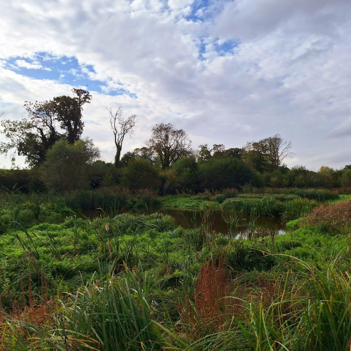
To give a scientific justification, data and evidence are key and this, in part, comes from on-site and local monitoring. When designing a monitoring strategy to collect data and build a strong evidence base, it’s important to remember, ‘what do we want to show?’ Understanding the requirements and the needs of the regulator is key to getting the HIA right. The Environment Agency outlines a 14-step process which can be used to plan the technical process.
Not only does the data and evidence need to be strong and reliable, but the data analysis and presentation need to be easily understood by the audience. The data analysis will lead to the development of a tested conceptual model, which will be the foundation of the HIA, and usually simple analytical modelling to assess inflow and the effects on the local groundwater system will be needed. Presentation needs to be accurate, appropriately brief and concise. Detail should be kept in appendices and long records made available if it is asked for.
How long will it take?
The whole process from data gathering to application determination in difficult situations could take years. However, it is reasonable to expect 12 months of appropriate data collection, together with analysis and preparation of an application of a few months, followed by a 4 month determination stage, in less sensitive, well-understood situations. This gives an estimated time of around 18 months, but you may already have 12 months of data!
Take home message
- The audience has changed for the Hydrogeological Impact Assessment (HIA), it is now the Environment Agency and Natural Resources Wales. Therefore, the HIA needs to be more systematic, focusing on evidence and testing.
- Know your subject and the rules so that the application is framed in the right way for the audience.
- Operations and quarry designers need early input!
- Review in real-time. Know your licence, why you need it and the impacts it may bring.
- Timing is key, it’s easy to run out!
Do you still want to learn some more? Click here to watch! If you have any questions don’t hesitate to get in touch with deborah@envireauwater.co.uk or james@envireauwater.co.uk.